
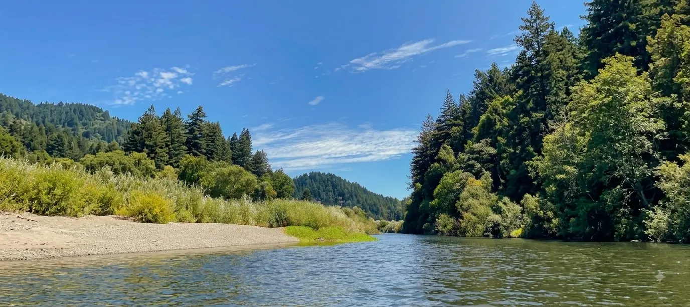
Upper & Lower Usal Creek + 10 inland creek areas
Usal Creek and South Fork Eel River
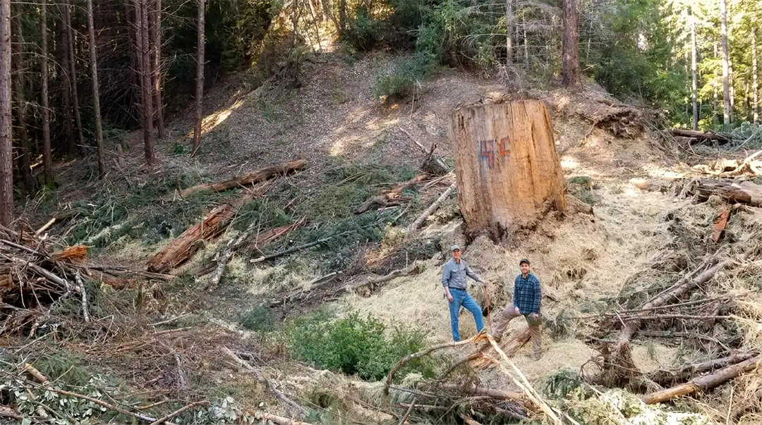
of legacy streamside roads decommissioned since 2008
Total watershed restoration investment
To the west, Usal Creek flows through the land to the Pacific at Usal Beach. To the east, a network of salmon-bearing streams drain into the South Fork Eel River, a wild and scenic river that traces the forest’s eastern edge before reaching the coast.
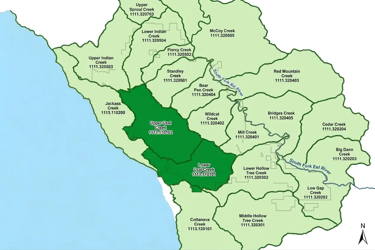
Two planning watersheds carry water from forested headwaters to the Pacific. Road and stream restoration reduce sediment and protect aquatic habitat throughout this coastal drainage.
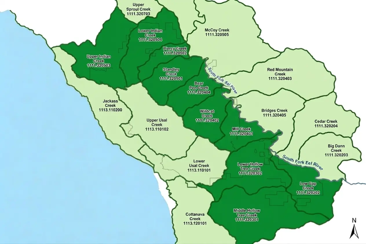
Ten planning watersheds drain Usal’s inland slopes toward the South Fork Eel River. Protecting tributaries, improving roads, and controlling erosion support cleaner water and healthier fish habitat downstream.
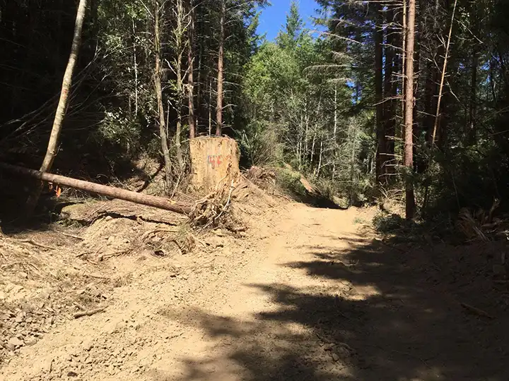
Old forest roads, aging stream crossings, concentrated runoff, and erosion can move sediment into streams and affect downstream water quality.
check our restoration works
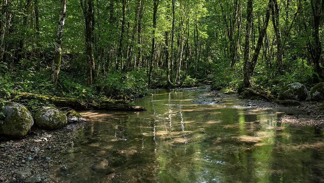
Adult coho observed migrating up Usal Creek to spawn after about ten years of absence.
Young-of-year coho observed using habitat created by large wood structures in Usal Creek.
Post-project review found fish sheltering in restored pools at Clark Gulch, in the Standley Creek watershed (2011 report).
Post-project review found fish sheltering in restored pools at Clark Gulch, in the Standley Creek watershed (2011 report).

Restoration at Standley and Hollow Tree creeks combines streamside planting, tree protection, erosion control, and channel repair.
Replant Streamside Vegetation
Plant willows for cover and erosion control.
Protect Forest Vegetation
Preserve redwoods, alders, and streamside plants.
Rebuild Stream Structure
Use large wood to form pools, stabilize banks, and diversify habitat.
Reduce Sediment Runoff
Treat or retire erosion-prone roads to protect streams.

Reports document planting, tree protection, and channel repair. Hollow Tree Creek’s assessment links improved sediment conditions and stream complexity partly to restoration.
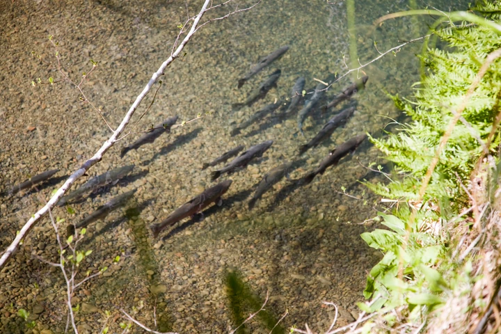
Fish among streambed gravel and streamside plants.
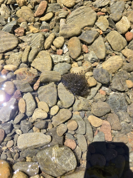
Amphibian eggs among the streambed gravels in Hollow Tree Creek.
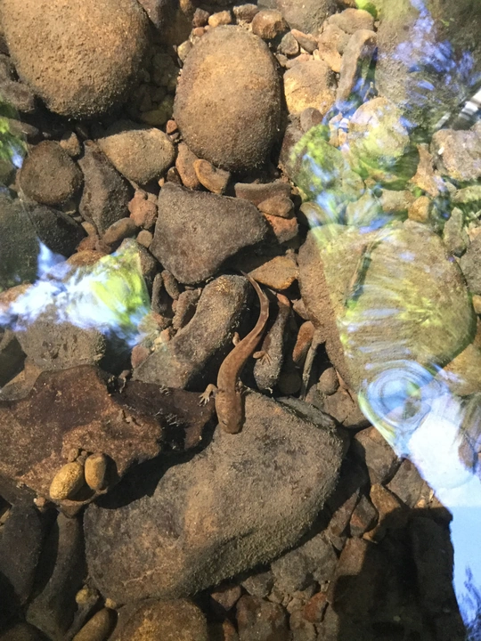
An amphibian among the streambed stones.
Every part of the forest is connected. Explore the work happening across Forest Management, Watershed Restoration, Biodiversity Conservation, and Monitoring.
support the forest